05 iPhone · iOS 26

Overhead
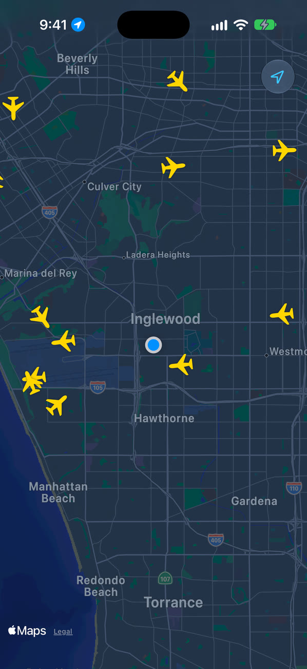
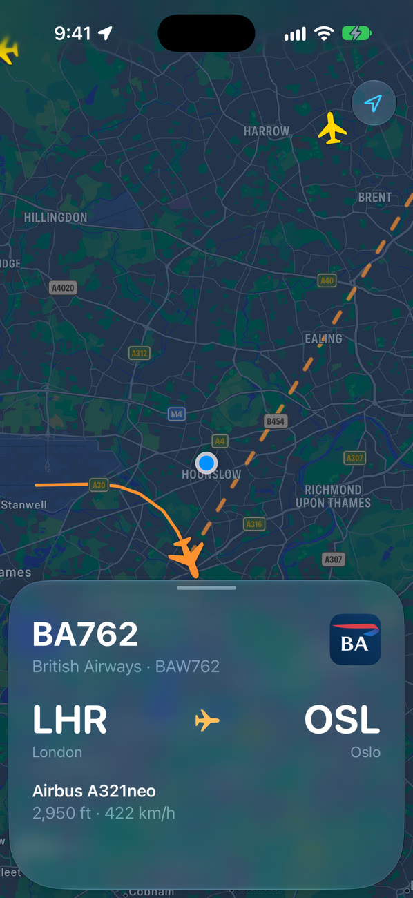
What's that plane? A live map of the sky around you. Tap a plane to see where it's going.
Preparing
Freeboot of: the big flight-tracker apps
Kept
- A live map of the planes around you
- Tap one for the flight, route, aircraft and a photo
- The path it has flown since takeoff, and a dashed line on to where it's going
Cut
- Account
- Ads
- Subscription
- Analytics
Spec
- Runs on
- iPhone
- Requires
- iOS 26 or later
- Network
- Flight data from adsb.lol, adsbdb and the OpenSky Network
- Stores
- Nothing
- Account
- None
- Permissions
- Location while you use it, only to put the map on you
- Build
- 2 Swift files, about 310 lines
- Status
- Preparing
Overhead isn't affiliated with or endorsed by any airline, adsb.lol, adsbdb, the OpenSky Network or Kiwi.com. Airline names and logos belong to their owners.